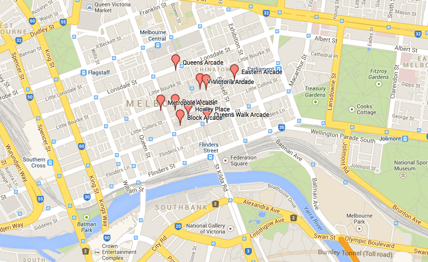
So I always knew you could create a custom map on Google. But didn’t think to do one basic one for the nineteenth-century arcades in Australia until I did my post the other day about creating maps in TileMill.
I am not sure yet how much you can customise these custom Google Maps but for the moment it is a good little reference point. And it means other people can see it and imagine these buildings in relation to the street layout of today.
So here is the link to the map for those who want to check it out. Please let me know if you can’t see it!!